JavaScript seems to be disabled in your browser. For the best experience on our site, be sure to turn on Javascript in your browser.
We use cookies to make your experience better. To comply with the new e-Privacy directive, we need to ask for your consent to set the cookies. Learn more.
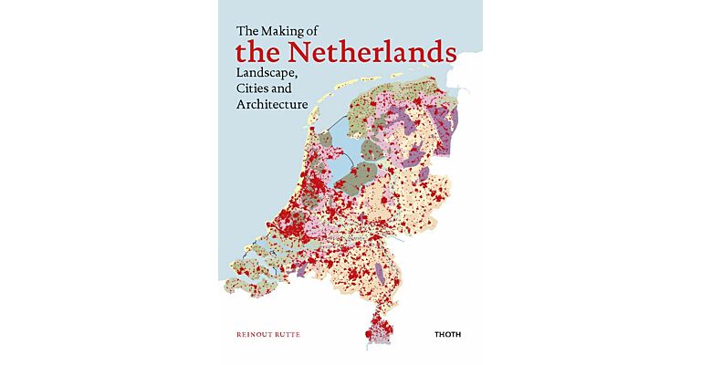
The Netherlands consists of a series of man-made landscapes, connected by rivers, canals, railways, and roads. This book explores why the country looks the way it does, and how it acquired its current appearance over the past 2,000 years. Using historical maps, new maps, plans, paintings, and photos to explain the developments with urban planning and architecture, this book also details the large-scale reclamation of peat bogs, the new villages build on reclaimed land, the construction of the railway network and stations, the extraction of the IJsselmeer polders, the construction of the Delta works, and the construction of the motorway network.